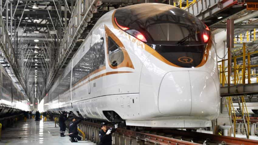
Bullet train: Work on India’s first undersea tunnel starts
NHSRCL and RITES have reportedly completed the survey of mangroves around the creek using Light Distance and Ranging (LIDAR) -- an aerial survey of the forest using a 100 megapixel camera.

Initial work on India’s first undersea tunnel, part of the Prime Minister’s ambitious Mumbai-Ahmedabad bullet train corridor, has started in Mumbai, said a report.
The bullet train has a 21-km underground corridor from BKC to Kalyan Shilphata, and of this, seven km is under the Thane creek, with 1.8km of it to be built under the sea bed, and the remaining under the mangroves marshland on either side of the creek, according to the Hindustan Times report.
Currently, a team of engineers from National High Speed Rail Corporation Limited (NHSRCL), RITES Ltd, and Japan’s Kawasaki Geological Engineering reportedly congregated in the city to initiate phase one of the work of the tunnel.
The teams are reportedly collecting data on the seabed, based on geo-technical surveys, to understand the structure and depth of the seabed at Thane Creek. The team comprising more than 10 officials from Japan and five officials from RITES and NHSRCL are working for eight to nine hours a day, said the report.
“We intend to start construction work of this tunnel by the second half of 2018, and complete it by December 2021. We have been surveying this 1.8-km stretch for more than a week, but are deterred constantly because of natural hurdles. However, we have completed 80% of the survey work,” Achal Khare, managing director of NHSRCL, told the newspaper.
According to the report, the team is using static refraction method to study the seabed structure. The technique involves firing a high-energy sound wave towards the seabed from below the surface of the water, and mapping the refracted sound wave to determine the density of the rock under the sea bed, Anil Khare informed, ading that only a very dense rock can safely support a tunnel of this nature.
NHSRCL and RITES have reportedly completed the survey of mangroves around the creek using Light Distance and Ranging (LIDAR) -- an aerial survey of the forest using a 100 megapixel camera.
01:06 PM IST


 Not just 1, as many as 4 Bullet Trains may run in India; Modi government mulls next big step
 Bullet train: Piyush Goyal, top Japanese official discuss Mumbai-Ahmedabad high-speed rail project progress
 Bullet Train project status: Most land acquisition to be completed by December
 Mumbai-Ahmedabad Bullet Train project status: Jobs to land acquisition, here's what reports say
 Indian Railways gets over 22,000 suggestions for bullet train's name